


Le Mt Combe-12-03-21

Christiancordin
User

Length
10.9 km

Max alt
424 m

Uphill gradient
342 m
Km-Effort
15.5 km

Min alt
125 m

Downhill gradient
342 m
Boucle
Yes
Creation date :
2021-03-12 07:58:03.192
Updated on :
2021-03-13 16:41:57.783
4h59
Difficulty : Medium

FREE GPS app for hiking
 SityTrail
IGN / Geographical institutes
SityTrail Plus
The world is yours!
About
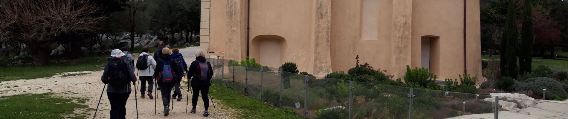
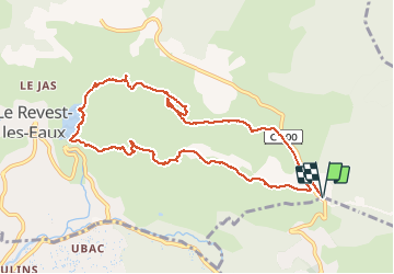
Trail Walking of 10.9 km to be discovered at Provence-Alpes-Côte d'Azur, Var, La Valette-du-Var. This trail is proposed by Christiancordin.
Description
Le Goudron-Château de Tourris-Le mont Combe-la Touravelle-le Barrage-le ragas-les olivières.
Photos


Positioning
Country:
France
Region :
Provence-Alpes-Côte d'Azur
Department/Province :
Var
Municipality :
La Valette-du-Var
Location:
Unknown
Start:(Dec)
Start:(UTM)
741503 ; 4783769 (31T) N.
Comments